Local Walks
The Sanctuary Way Walk is a 10-mile (16 km) circular walk around the city of Ripon. The walk traces a route around the city and has eight trail points at the places where waymarkers used to designate that travellers were within 1-mile (1.6 km) of the cathedral at Ripon and thus afforded The Sanctuary of Ripon. The waymarker at Sharow is the base of one of the crosses that used to mark the edge of the Sanctuary of Ripon. Now looked after by the National Trust, it was the first NT gift in Yorkshire.
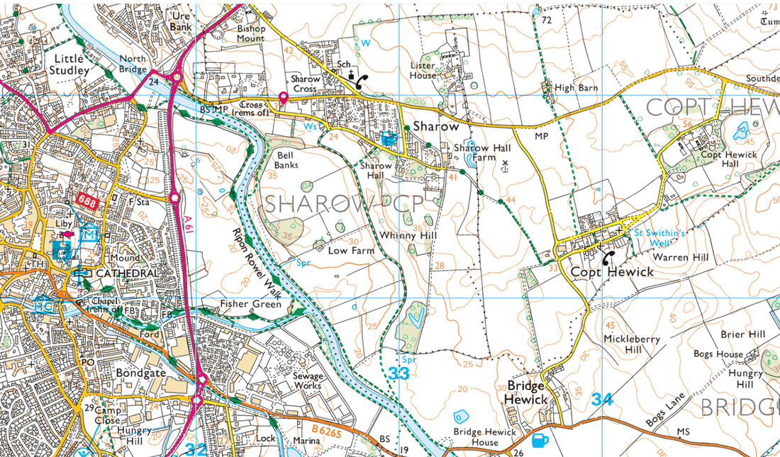
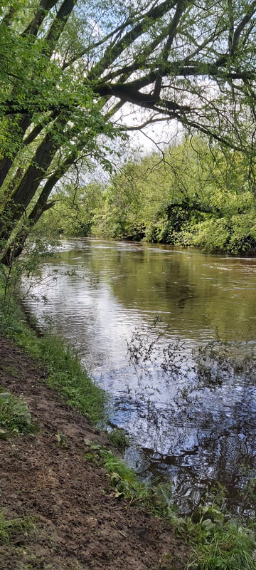
There are footpaths running along both sides of the River Ure between the bridge of the A61 (by North Street bridge) and the bridge on Boroughbridge Road (B6265) that can be walked as a circuit.
A sharp left fork on the north bank path, just before the Bouroughbridge Road bridge, can return you back into Sharow Village via an alternative route into the eastern end of Sharow Lane.
A further walk leads from the end of Sharow Lane to Copt Hewick.
A sharp left fork on the north bank path, just before the Bouroughbridge Road bridge, can return you back into Sharow Village via an alternative route into the eastern end of Sharow Lane.
A further walk leads from the end of Sharow Lane to Copt Hewick.
|
|
|